

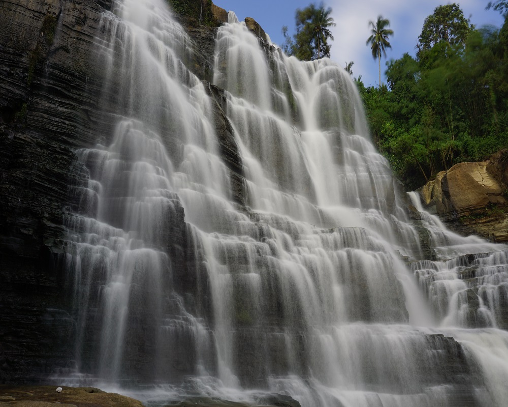
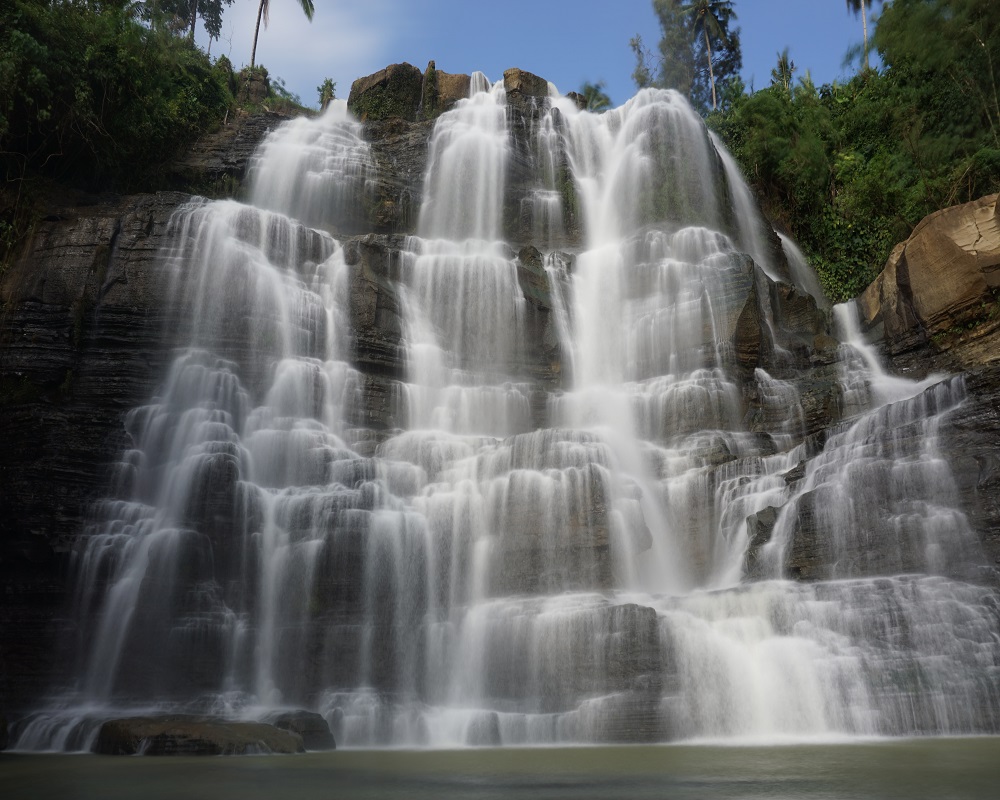
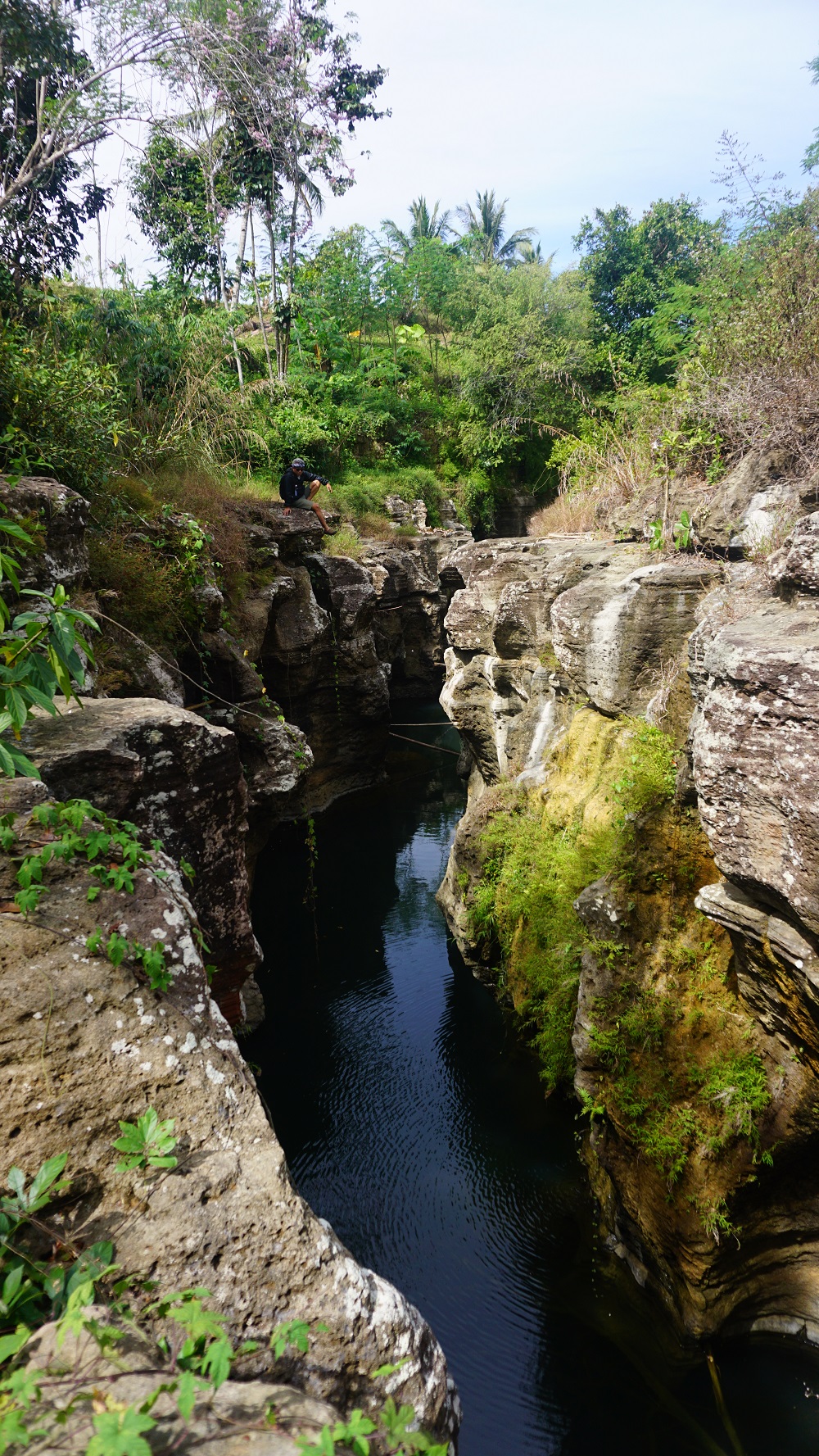
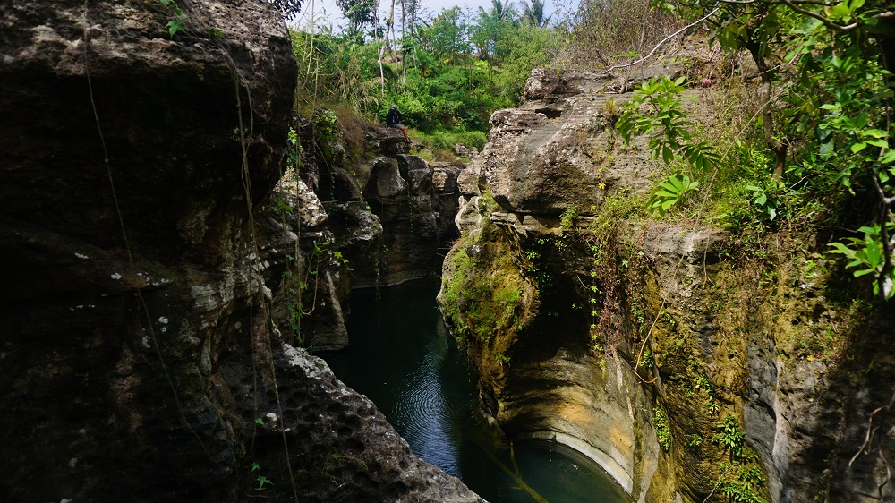
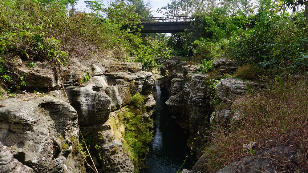
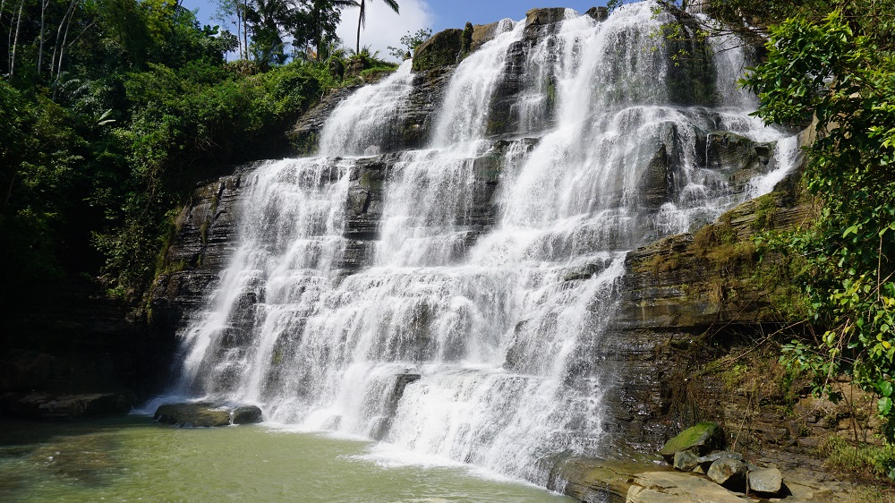
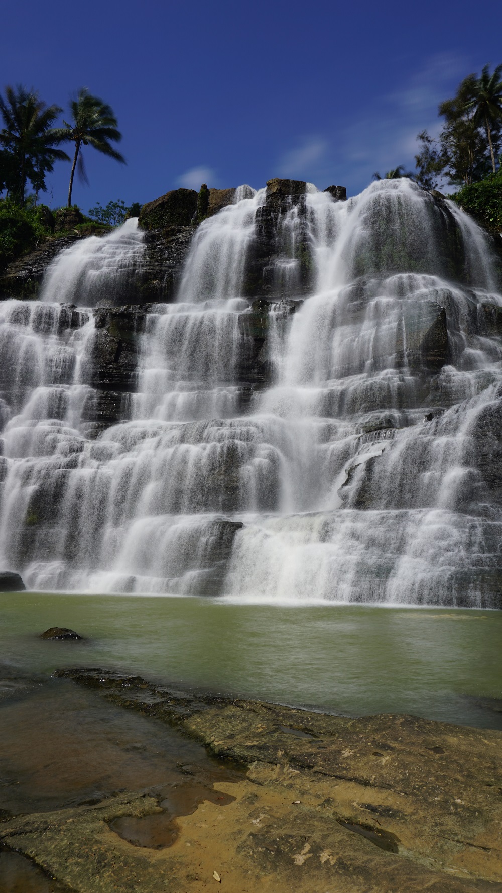
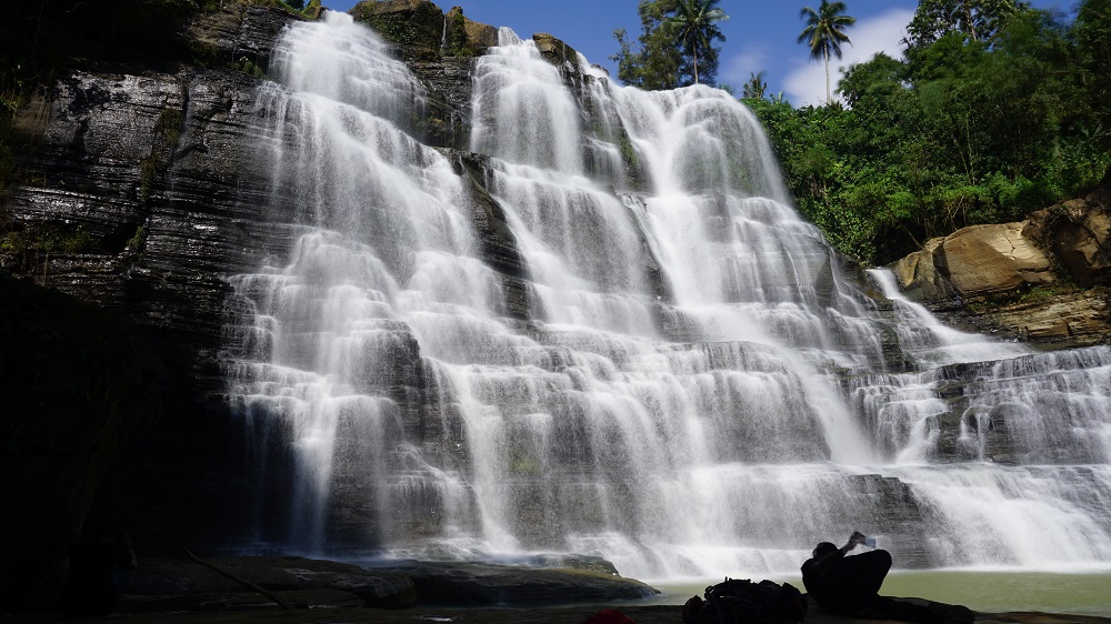
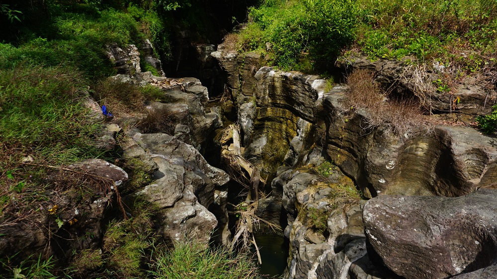
This geosite is a 100 in waterfall (328 ft.) which is evidence of geological structural features. The rock is part of the Jampang formation consisting of sandstones, claystones and breccias which are formed in layers about 23-16 million years ago (Lower Miocene). Statues (Arca) believed to have been built in prehistoric times can also be found at the side of the waterfall. During the dry season, the water flow is very limited because it is prioritized for the dam a (reservoir) in the upstream which is used for irrigation of the surrounding rice fields. In the dry season, the walls of this waterfall almost dry up, so it is often used for adventure activities such as rock climbing (picture attached). This waterfall is easily accessible from Surade city district.
Information of
Luhur Cigangsa Waterfall
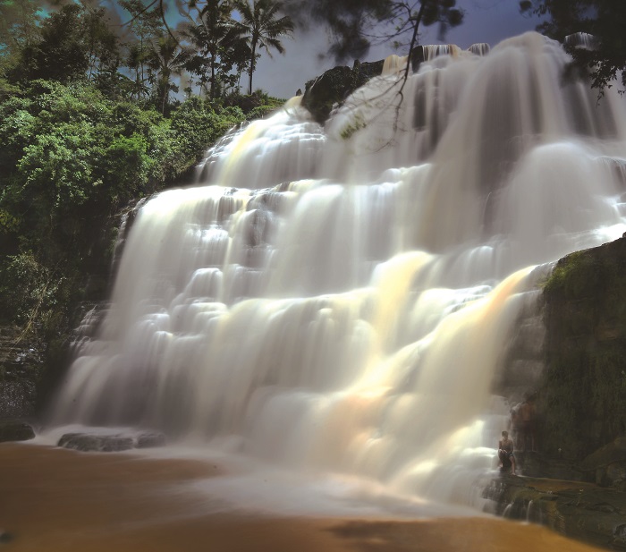
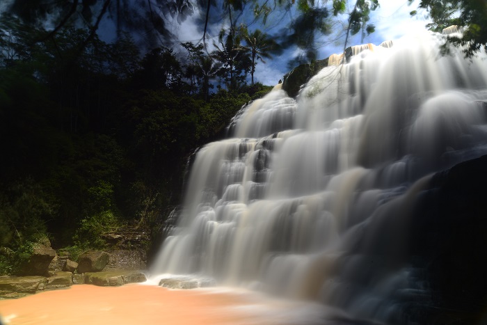
Photo Documentation
Gallery
Wednesday, 18 Nov 2020
Author: komunitas

Wednesday, 18 Nov 2020
Author: komunitas
Wednesday, 18 Nov 2020
Author: komunitas
Wednesday, 18 Nov 2020
Author: Komunitas
Wednesday, 18 Nov 2020
Author: Komunitas
Wednesday, 18 Nov 2020
Author: Komunitas
Wednesday, 18 Nov 2020
Author: Komunitas
Wednesday, 18 Nov 2020
Author: Komunitas
Wednesday, 18 Nov 2020
Author: Komunitas
Wednesday, 18 Nov 2020
Author: Komunitas