

Phone
0266 312 321
E-mail :
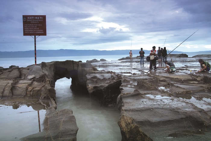

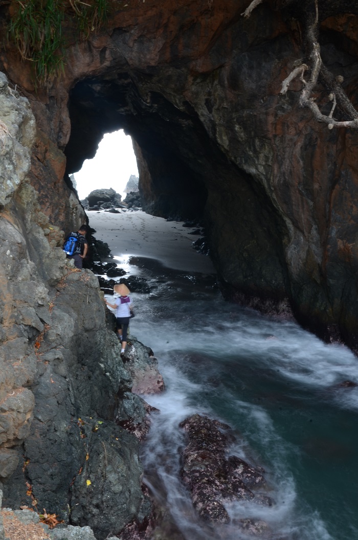
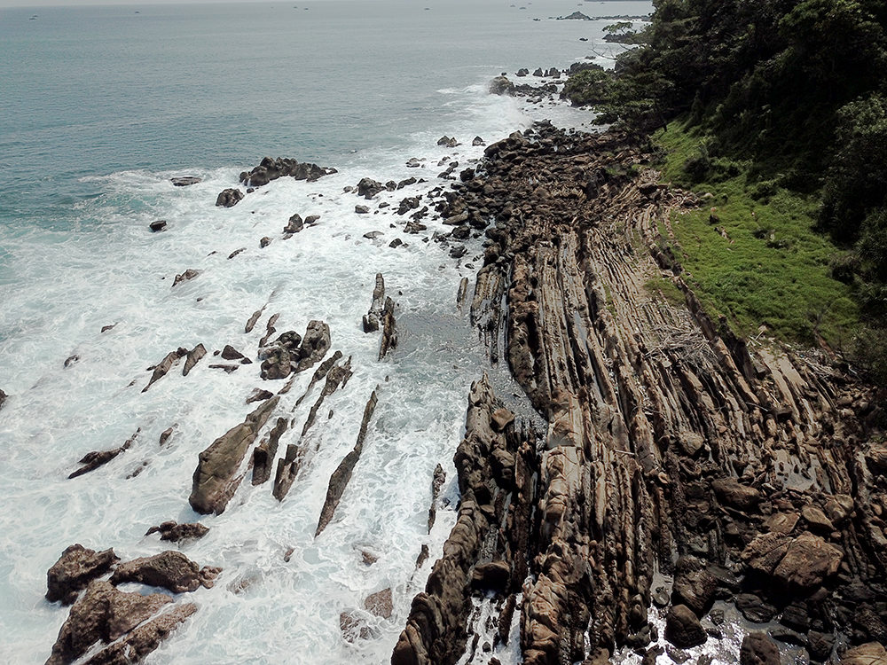
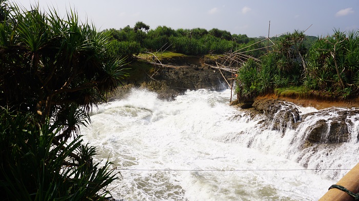
The process of erosion, abrasion and weathering that occur in the Ciletuh Formation sedimentary rocks of Eocene-age and the Jampang Formation rocks of Lower Miocene-age have produce unique shapes and colors. The shape that is produced will depend on the difference in hardness of the rocks composition that compose it, the velocity of water, wind or waves that cause
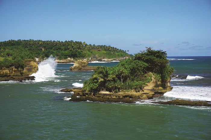
erosion of the rocks, and the influence of climate. So that the erosion process produces unique rock forms such as Batu Kodok, Batu Naga, Batu Catur (rocks resembling the shape of frog, dragon, and chess respectively), as well as in the form of caves such as Sodongparat, Karanghawu, and Karangbolong sea caves. In addition, erosion also causes the formation of small islands which are separated from the mainland or known as "sea-stack" such as in Cikarang Estuary.
Geosite that is good for observing the erosion process are:
1. Cisolok-Cikakak Area (Karang Hawu) Geosite
2. Batu Naga Geosite
3. Legon Pandan Geosite
4. Ciletuh Bay Geosite
5. Gunung Sungging Cave Geosite
6. Karangbolong Beach Geosite
7. Sodong Parat Geosite
8. Cikarang Estuary Geosite
9. Sodong Parat Geosite
Sub-distric Cisolok [B2]
Sub-distric Ciemas [D2]
Sub-distric Ciemas [D4]
Sub-distric Surade [H9]
Sub-distric Ciracap [H4]
Head Office
Address :
 INDONESIA